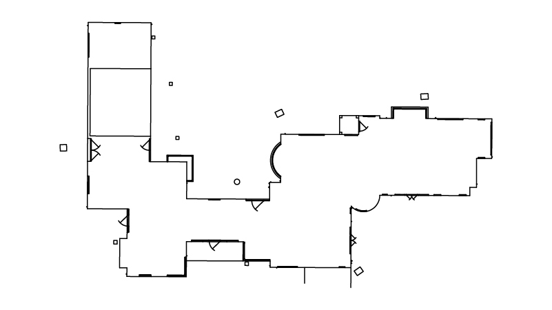
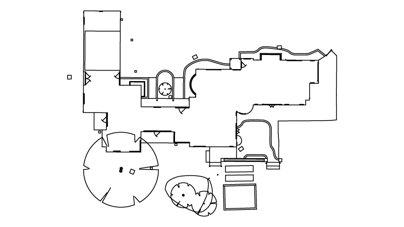
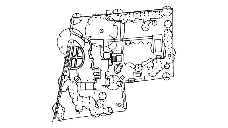
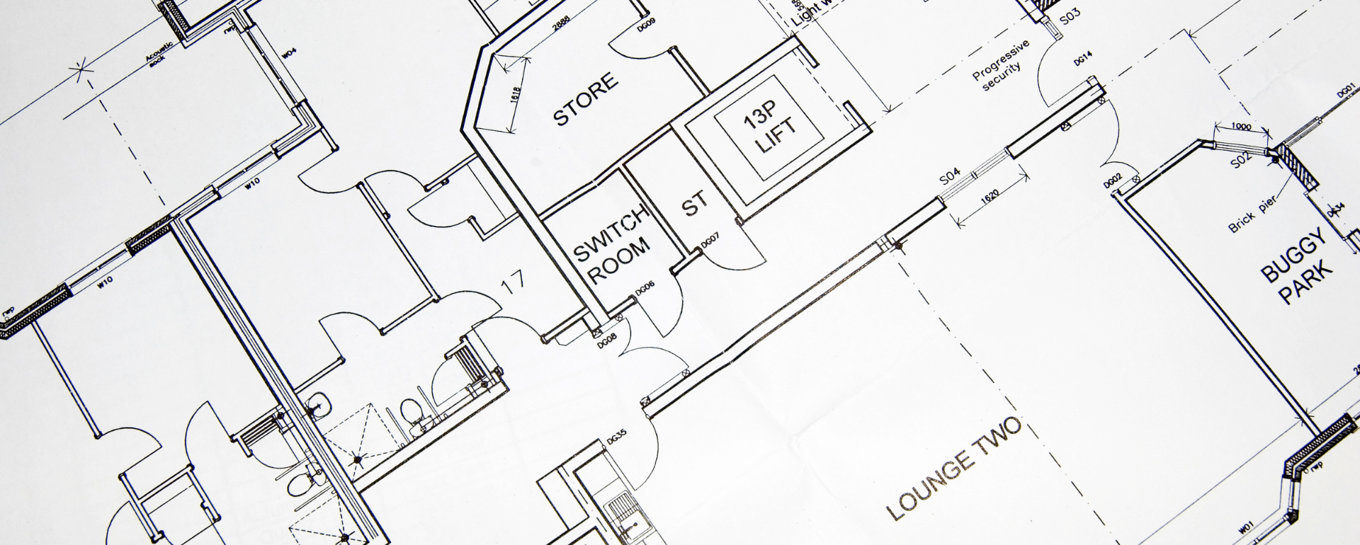
We will survey all accessible floors in the property and provide plans showing all visible walls, windows, doors, spot height levels, ceiling/roof heights, window sill/head heights.
More Posts
Posted 22/12/2022
Point Cloud Laser Scan to ArchiCAD
As every ArchiCAD user knows, it’s a great program for 2D and 3D architects’ work as it brings together technical and aesthetics into one model and uses the ever-more popular BIM (Building Information Modelling) framework. Unlike most other architectural design software, the ArchiCAD program was built for architecture from the start, rather than being an […]
Uncategorized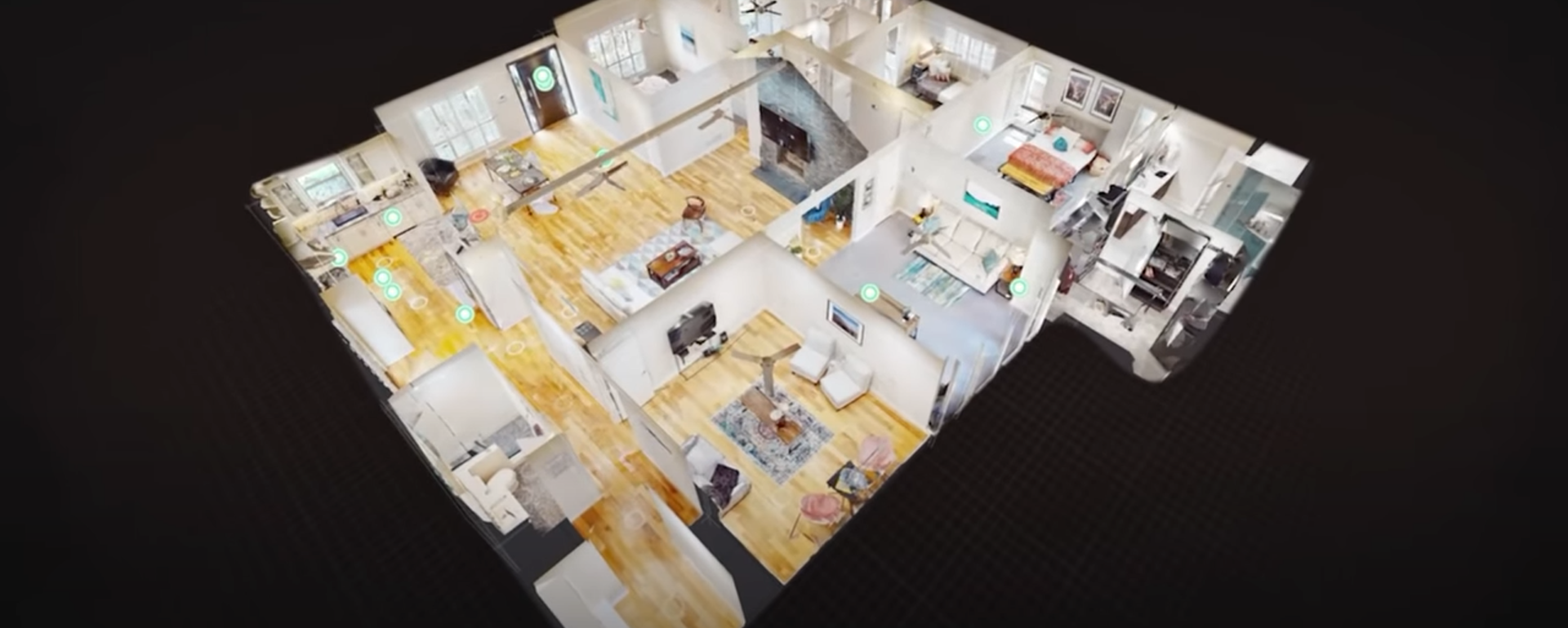
Posted 22/07/2022
Matterport tours offer watchers high-quality digital 360° video tours of a property using software and smart cameras (or even smartphones) and are perfect for immersive 360° house tours. After capturing dozens of 3D images of each room, with its décor, furnishings, layout, and so on, the software pieces together a high-definition panorama allowing watchers to […]
Virtual Tours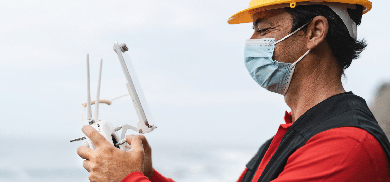
Posted 13/07/2022
The latest unmanned survey techniques and advancing technology, platforms, optics, ease of control, and fast download speeds mean that a drone survey cost is now a great investment. Our customers for drone surveys include homeowners, builders, landlords, and civil engineering firms that want a fast and accurate drone roof survey and inspection to show due […]
Topo Survey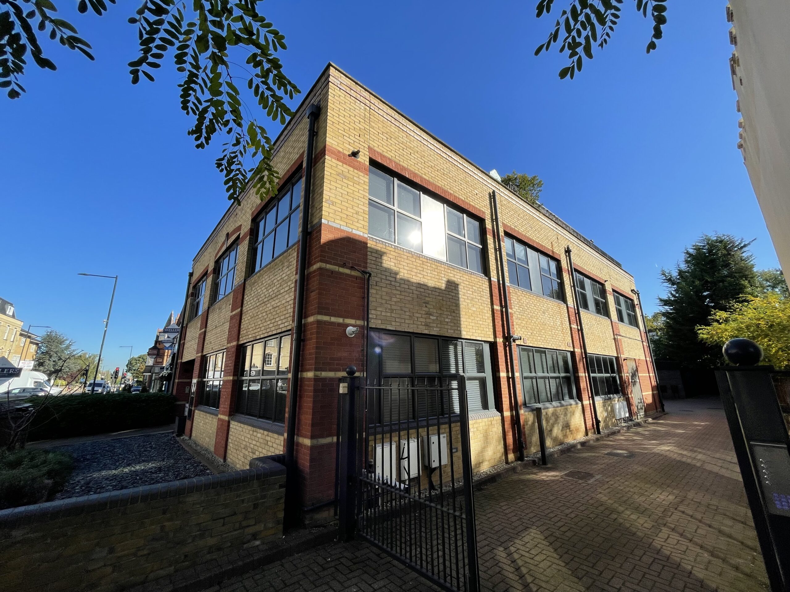
Posted 20/01/2022
Measured Surveys In London Are you searching for a measured survey in London? With Greater London being home to approximately one-sixth of the UK’s population, it’s no wonder that when it comes to measured survey requirements the demand is high due to the vast amounts of construction, renovation, and building regeneration taking place here, compared […]
Measured Survey Topo Survey