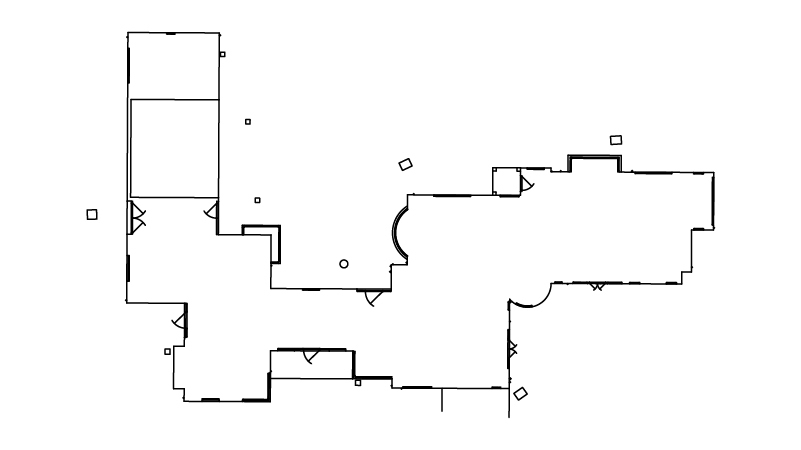
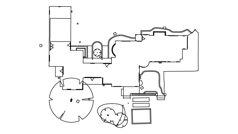
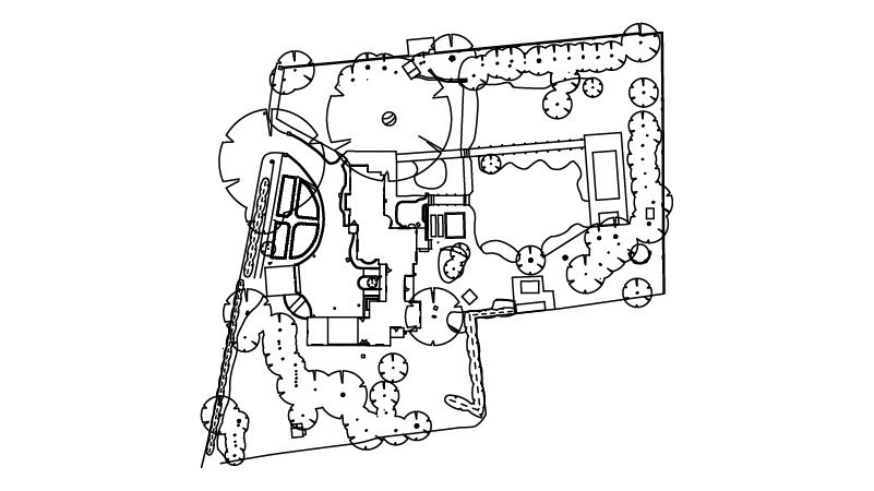
fbpx

Call 0333 335 5085 or send us a message

Home
Insights
FAQs
Services
Case Studies
Join our Team
Contact Us
Instant Quote
Instant Quote
Home
Insights
FAQs
Services
Case Studies
Join our Team
Contact Us
Instant Quote

Insights

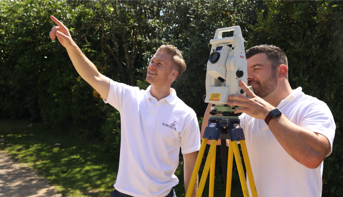
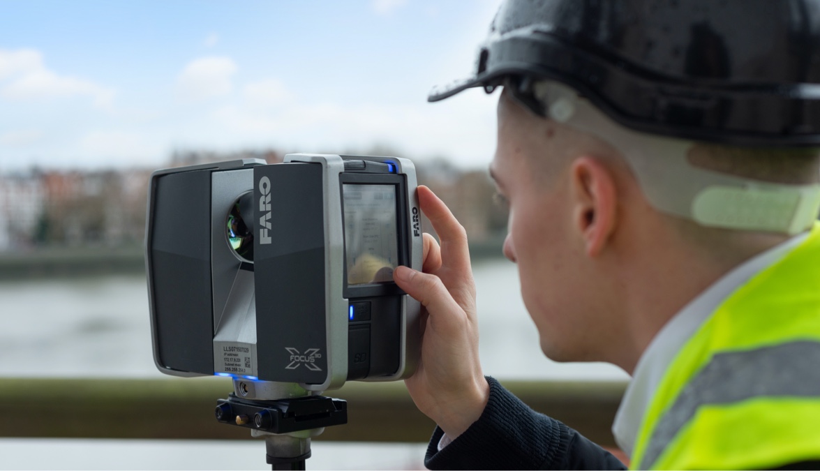
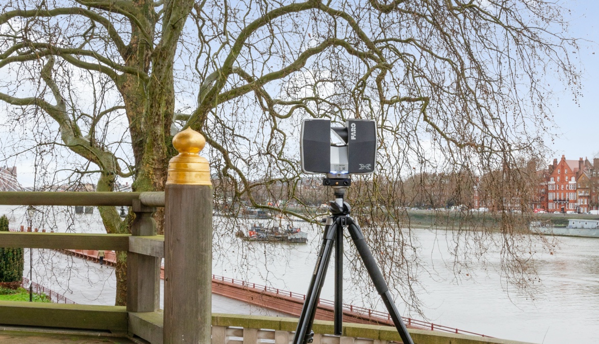
XP Surveys are a team of professional property surveyors providing measured surveys, topographical surveys, 360° degree home tours, and 3D point-cloud scanning across London and south England. With the latest measuring technology and architectural design software, our surveyors perform a vast array of surveying work for architects, landlords, property developers and homeowners. Here on our website, we share our insights and tips to help you understand the different aspects of property surveying. Whether you are new to the world of architectural surveying, or a seasoned architect please reach out to us with your questions or request for information.

Measured building surveys

Posted 08/09/2021

Architect’s Measured Survey Requirements

If there’s one thing that XP Surveys understand more than most, it’s what a typical architect requires when they request a measured building survey. Architects have a distinct set of expectations and requirements when selecting a company to carry out measured and topographical surveys, as outlined below. What Architects need from a Measured Building Survey […]

Measured Survey

Posted 08/09/2021

What Equipment Do We Use?

Reliable measured building surveys and topographical (topo) surveys need to be extremely accurate. To create pinpoint-accurate measurements, a surveying firm needs to use the latest cutting-edge technology to achieve the results demanded by their discerning clients. At XP Surveys, we appreciate the requirements of London architects when they request measured building surveys. We’re architects as […]

Measured Survey Topo Survey

Posted 08/09/2021

What is the Point Cloud?

We use 3D Point Cloud equipment to scan and measure each single point in your property to produce 3D models which reproduce even the finest details. Point Cloud surveys are measured as a collection of points that make up a 3D shape. Each point is defined by X and Y coordinates, but a LIDAR point […]

Measured Survey
Show More
Download our brochure